
Coastline Engineering
From 2009 – To 2012
Construction completed in October 2015

President and Senior Consultant
pmcraig@dsi.llc
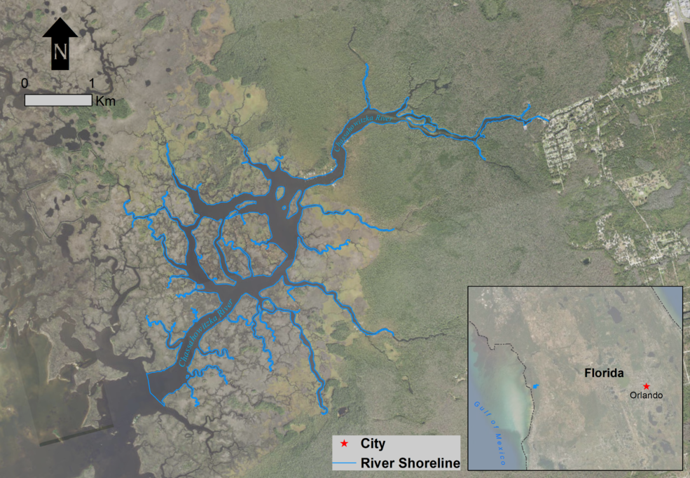
The Chassahowitzka River System is located along the West coast of Florida in a region known as the Springs Coast. The average depth of water in the system is 3.1 feet (0.95 m) with the deepest part approximately 14.8 feet (4.4 m); the open water area is nearly 630 ac (255 ha). With an average spring discharge estimated to be 106 ft$^3$/s (3 m$^3$/s), the daily inflows comprise 8 percent of Chassahowitzka’s volume.
The Southwest Florida Water Management District (SWFWMD) was in the process of developing methods and rules for the establishment and implementation of Minimum Flows and Levels (MFL) for priority water bodies within its jurisdiction. As part of this process and to address a specific priority site, they contracted DSI (through a prime consultant) for a number of tasks for the Chassahowitzka River/Estuary System.
To develop a three-dimensional (3D) hydrodynamic model for the Chassahowitzka River/Estuary System to support MFL, identify suitable habitat for the Manatee (which is federally designated as a threatened species), and evaluate the effect of multiple future scenarios.
Model Domain for Kodiak Airport Study
DSI developed a 3D model for the Chassahowitzka River/Estuary System using Environmental Fluid Dynamics Code Plus (EFDC+) to simulate hydrodynamics, temperature, and salinity. To assist in the model development, DSI also conducted a data assessment and statistical regression for missing data periods, and conducted a joint probability analysis to establish the baseline critical condition of MFL for providing adequate protection to the manatee refuge.
The 3D hydrodynamic model was calibrated using USGS stations along the river’s center line. This model was then used to develop the minimum baseline refuge areas/volumes and determine the changes in salinity regimes due to reductions in spring discharges.
DSI submitted the final model and report to the client in 2011.